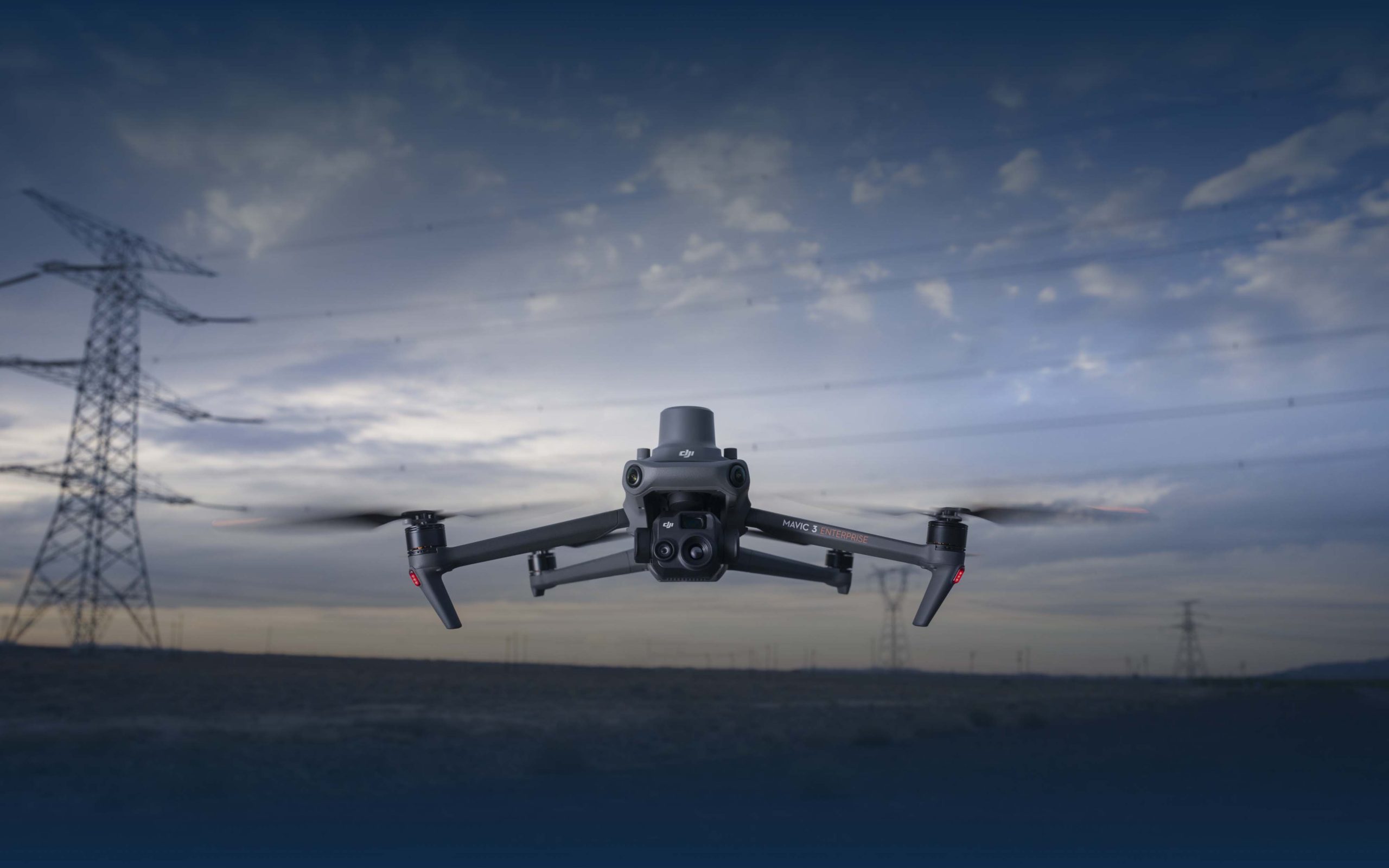
At AirReal Solutions, we harness the power of drone technology to offer innovative solutions to real-world challenges that only an aerial perspective can address. Our state-of-the-art drones and expert team provide unparalleled insights and services across a wide range of industries. From enhancing security and improving event coverage to streamlining construction projects and supporting emergency response efforts, AirReal Solutions is dedicated to transforming the way you see and interact with the world. With a commitment to precision, efficiency, and excellence, we elevate your operations and ensure that you reach new heights. Welcome to the future of aerial solutions—welcome to AirReal Solutions.

At AirReal Solutions, we specialize in delivering cutting-edge 2D and 3D aerial construction mapping services that revolutionize how projects are planned, monitored, and executed. Using advanced drone technology, we provide precise and detailed maps and models that offer invaluable insights for construction professionals. Our solutions enhance site planning, progress tracking, and quality control, ensuring that every phase of your construction project is optimized for success. With our commitment to accuracy, efficiency, and innovation, AirReal Solutions is your trusted partner in transforming construction mapping. Discover how our aerial expertise can elevate your project to new heights. Welcome to AirReal Solutions.
At AirReal Solutions, we bring the future of ground mapping to your fingertips. Our advanced drone technology provides comprehensive and precise ground mapping services, offering unparalleled insights for a wide range of applications. Whether you need detailed topographical maps, land surveys, or environmental assessments, our high-resolution 2D and 3D maps deliver the accuracy and clarity required for informed decision-making. Our expert team is dedicated to enhancing your projects with efficient, cost-effective, and innovative solutions. Experience the transformative power of cutting-edge ground mapping with AirReal Solutions, your trusted partner in navigating the complexities of the terrain. Welcome to the future of ground mapping—welcome to AirReal Solutions.
At AirReal Solutions, we redefine property management with our advanced drone technology, offering unparalleled updates and insights to keep your properties at their best. Our innovative aerial solutions provide detailed, real-time views and comprehensive reports, ensuring you stay informed about every aspect of your property. From routine inspections and maintenance checks to assessing structural integrity and landscape management, we deliver the precision and efficiency that traditional methods simply can’t match. Trust AirReal Solutions to enhance your property management strategy with cutting-edge technology and expert analysis. Welcome to a new era of property management—welcome to AirReal Solutions.
At AirReal Solutions, we are transforming property development with our state-of-the-art drone technology. Our comprehensive aerial solutions offer unparalleled insights and precision, ensuring that your development projects are planned, monitored, and executed with exceptional accuracy and efficiency. From initial site surveys and 3D mapping to progress tracking and final inspections, our services provide the detailed information needed to make informed decisions and optimize every phase of your project. Partner with AirReal Solutions to elevate your property development endeavors and achieve new heights of success. Welcome to the forefront of property development—welcome to AirReal Solutions.
At AirReal Solutions, we revolutionize building and structural inspections with our cutting-edge drone technology. Our advanced aerial solutions provide comprehensive, high-resolution views of your structures, ensuring that every detail is captured with unparalleled accuracy. Whether you need routine maintenance checks, damage assessments, or detailed inspections of hard-to-reach areas, our drones deliver precise and efficient results that surpass traditional methods. Trust AirReal Solutions to enhance the safety, integrity, and longevity of your buildings with innovative inspection services. Experience the future of structural inspections—welcome to AirReal Solutions.
During Hurricane Harvey, DJI drones were deployed to assist in search and rescue operations. Equipped with thermal imaging cameras, the drones helped locate stranded victims and assess damage in flooded areas. Their rapid deployment and ability to access difficult terrains proved invaluable in the relief efforts.
Data and imagery from drones can exponentially improve
infrastructure design, monitoring, and maintenance, as long as you
properly integrate their data into your systems and software.