Drone data collection involves using unmanned aerial vehicles (UAVs), commonly known as drones, to capture various types of data from the air. This data can include high-resolution imagery, videos, thermal images, LiDAR (Light Detection and Ranging) data, and more. The primary advantage of drone data collection is the ability to gather detailed, high-quality data quickly and efficiently, often from locations that are difficult or dangerous to access by traditional means.
Drone data collection is a powerful tool that offers numerous benefits across various industries. By leveraging advanced imaging and sensor technologies, drones provide detailed, accurate, and timely data that can enhance efficiency, safety, and cost-effectiveness. As drone technology continues to evolve, its applications and capabilities are expected to expand, offering even more innovative solutions for data collection and analysis.
across various industries, improving efficiency, safety, and decision-making.
Drones, also known as UAVs, are designed to supplement or replace certain terrestrial surveying equipment. Similar to manual data collection methods, drones can be utilized by organizations across various industries (see chart on the next page) for project progress monitoring, site inspections, problem identification, marketing and reporting, research, and other types of analysis and processing. Drone data collection goes beyond merely launching a drone with a camera to take a few aerial photos. These devices employ advanced technologies to generate highly detailed and information-rich datasets.
Photogrammetry enables drones to capture high-resolution photographs over large areas. These images are then combined to create a detailed and data-rich representation of the surveyed site or object.
Instead of focusing on a single point, photogrammetry uses overlapping images to create a comprehensive 3D map, capturing not only elevation data but also texture, shape, and color information for every point on the map. This results in a high-definition 3D reconstruction. A drone system equipped with photogrammetry is highly effective for capturing both 3D and 2D images, mapping extensive areas, and collecting data from multiple perspectives. For instance, it can inspect a cell phone tower closely without the need to send a worker up, providing detailed imagery from various angles.
The immense mobility, flexibility, and versatility of drones allow them to generate valuable datasets for a wide range of applications and use cases across nearly every industry involved in surveys, inspections, and more.
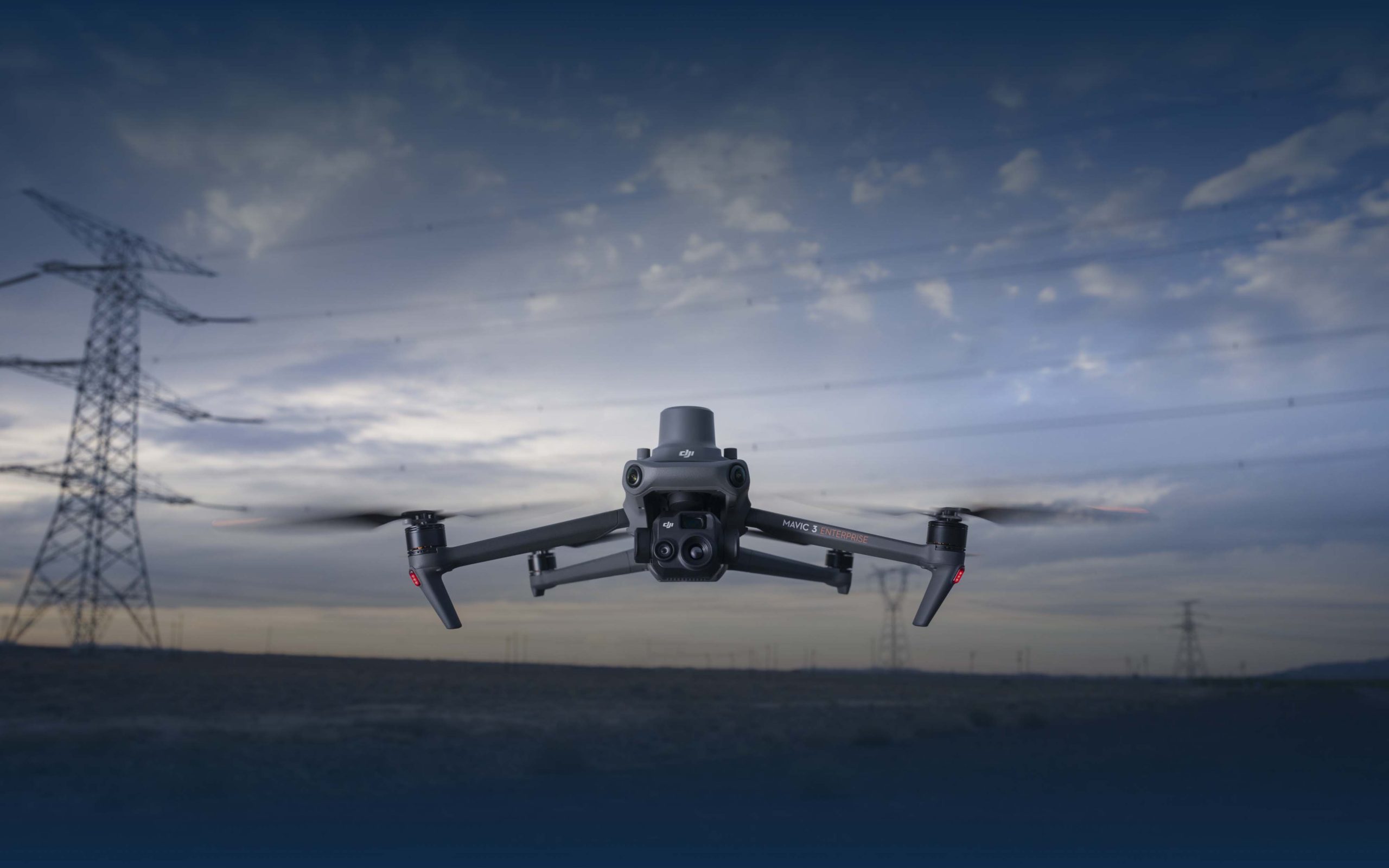
Inspecting cell phone towers is essential, yet it demands significant time and labor while also posing risks to workers. Drones, however, can gather data much more quickly and without any danger to human operators.
Drones are invaluable for solar energy monitoring as they can deliver thermal, RGB data, and aerial imagery. This data helps assess the operational efficiency of solar panels, verify their condition, evaluate environmental impacts, and monitor any encroachments on designated pathways.
Drones offer a wide range of survey and monitoring data, which can be utilized in site planning, progress tracking, safety inspections, and thermal imaging to identify issues such as electrical hotspots or heat loss.
Drones enhance emergency response by facilitating search-and-rescue operations with aerial and thermal imaging, providing surveillance for law enforcement, and much more, thereby speeding up and simplifying the process.
Ground-level photography is not only time-consuming and labor-intensive but can also overlook features that aerial drones can capture. Drones make property inspections, appraisals, management, and more much easier and more efficient.
The most fascinating uses of drones are the ones yet to be discovered.
The incredible flexibility of drone-based imaging and data collection opens up possibilities that were previously impossible or extremely challenging with manual, ground-based, or satellite-based methods.
There are likely data-gathering applications you’ve never considered because they weren’t feasible or possible until now, thanks to drones.
Drones excel in data collection, significantly improving on traditional and manual methods in numerous ways: time, speed, cost, manpower, data quantity, accuracy, and more. The key advantage is the richness of the dataset. With their mobility and automated data collection capabilities, drones can gather extensive data points from almost any location and perspective, including areas difficult for human surveyors to reach. This results in datasets that provide a more comprehensive and informative picture, map, or assessment.
Drones generate exponentially more information than traditional methods. They can measure survey points in centimeters or millimeters, resulting in datasets with millions of points. Additionally, a single drone survey can produce a comprehensive dataset that can be reused. For instance, a dataset may include information on both trees and roads. Initially, you might only need to assess vegetation, but later, if you need to review roads, you already have the data, eliminating the need for additional site visits. This approach minimizes costly and time-consuming revisits.
A study published in the Journal of Big Data found that drones achieved an accuracy rate of 98.53% at an altitude of 40 meters, with only minor accuracy drop-off even at 100 meters. Survey points were precise to within 0.68 cm (0.022 ft), demonstrating how drones can produce numerous data points. Another study found that drone data collection in ecology was up to 96% more accurate—roughly twice as accurate—than traditional ground-based methods. LiDAR technology, in particular, provided point densities between 50 and 200 points/m² even from elevations as high as 2000 meters (6600 ft).
These advancements don’t just improve the process quantitatively; they transform what operators can do qualitatively. Drones can collect previously inaccessible information or handle projects requiring vast amounts of data that were previously infeasible. They can monitor multiple locations simultaneously, replace helicopter missions, and create historical records. When combined with current data or existing site plans, this allows organizations to conduct change analysis and predict future needs.
Beyond data collection, the primary purpose and strength of drones lie in making projects more efficient and cost-effective. These efficiencies are also crucial in unlocking new data collection possibilities. Drones’ flexibility extends beyond technical capabilities to making projects feasible that would otherwise be too time-consuming, labor-intensive, or costly.
Drones gather more data quickly by capturing more visuals per second than human operators can typically capture in a minute. They can simultaneously collect multiple types of data and, in some cases, survey different parcels of land at once, especially from higher altitudes. For example, drone video can reduce golf course treatment time by 96% due to the rapid detection of issues like fungal outbreaks and water leaks, which are hard to spot from the ground. Similarly, it might take a technician around 25 hours to inspect 1MW of solar panels on foot, whereas a drone can complete the inspection of a small 5MW solar farm in a few hours, a task that would otherwise take 125 man-hours.
The reduction in labor can be significant. By eliminating the need to send workers (or teams of workers) to manually collect data across large areas or up tall structures like cell phone towers, overall labor requirements can be reduced by 50% to 80%. Photogrammetry and LiDAR allow for quicker data acquisition with fewer crew members or can supplement the existing crew more effectively.
Time and labor savings directly translate into cost efficiencies. Across the board, drone data collection is less expensive than manual alternatives. Power Engineering reports that trials found drones to be 40% less expensive than manual solar inspections. Similarly, The New York Power Authority, in partnership with Ontario Power Generation, used drones to inspect an ice boom between the Niagara River and Lake Erie. In just 20 minutes, the drone identified a damaged cable, saving an estimated 90% of the inspection costs.
Additional cost savings come from identifying problems and maintenance issues before they escalate into expensive crises. One large solar farm identified defective modules that likely would not have been discovered during on-foot inspections, generating an estimated $383,127 in savings. LiDAR, in particular, offers exceptional cost benefits. A study by the Florida Department of Environmental Protection assessed LiDAR’s use in ground elevation surveys, inland bathymetry, and nearshore bathymetry, projecting over $28 million in annual net benefits with a benefit-to-cost ratio as high as 5.1-to-1.
Drones significantly enhance safety by eliminating the need for workers to enter hazardous conditions. Tasks like searching for methane leaks expose workers to dangerous chemicals, inspecting cell phone towers involves the risk of falling, and conducting railway inspections requires navigating potentially dangerous tracks. Drones remove the necessity for people to be in these risky situations, and they generally stay clear of moving equipment and vehicles, ensuring a safer work environment.
**Drones Alone Are Not Enough**
A word of caution: how drone services are delivered makes a significant difference. Simply buying a drone off the shelf doesn’t guarantee the outcomes detailed above. Many organizations mistakenly believe that purchasing a drone and implementing a DIY drone survey program will immediately yield time and cost savings, but this is not necessarily the case. Drones don’t operate in isolation. The strategy and skillsets required for drone and aerial data collection are crucial. An inefficiently or poorly managed drone program can negate all the potential benefits.
**First, the Technology**
Not all drones are created equal, especially LiDAR-equipped drones and vehicles. Off-the-shelf models may lack the acuity, accuracy, or functionality needed to achieve the desired results. Ensure you understand the specific technologies and technical specifications that will meet your needs.
**Second, the Relationship Matters**
Organizations may need assistance in determining what they need and how to use the data effectively. A relationship with a trusted vendor can be invaluable. Unfortunately, many vendors rely on automated approaches with minimal human interaction, leaving clients unsure of how to utilize the data they receive.
**Third, the Business Model Matters**
Delivering high volumes quickly, particularly on a recurring basis, depends not just on using drones but on setting up a business model that maximizes the advantages of drone data. Beyond the technical capabilities of the drones, vendors must have the logistical flexibility to deploy them whenever and wherever needed.
**Conclusion**
It’s no surprise that the drone industry is experiencing rapid growth, with an astounding annual CAGR of over 57.5% expected through 2028.
Just as spreadsheets replaced paper ledgers and smartphones replaced rolodexes, drones’ remarkable ability to enhance traditional data collection methods ensures they are the future of site surveys, inspections, and more. Cutting-edge technologies like LiDAR are unlocking even more exciting applications and use cases, enabling surveyors and inspectors to achieve more, work faster, and reduce costs.
However, it’s important to understand that not all drones and drone services are created equal. Achieving the best outcomes depends on skilled and experienced operators, equipment with the right technological capabilities, and business models that can navigate the logistical challenges of deploying drones where and when they are needed.
With the right drones, operated by knowledgeable professionals and supported by effective business strategies, drones are truly elevating the potential in industrial and commercial data collection.